


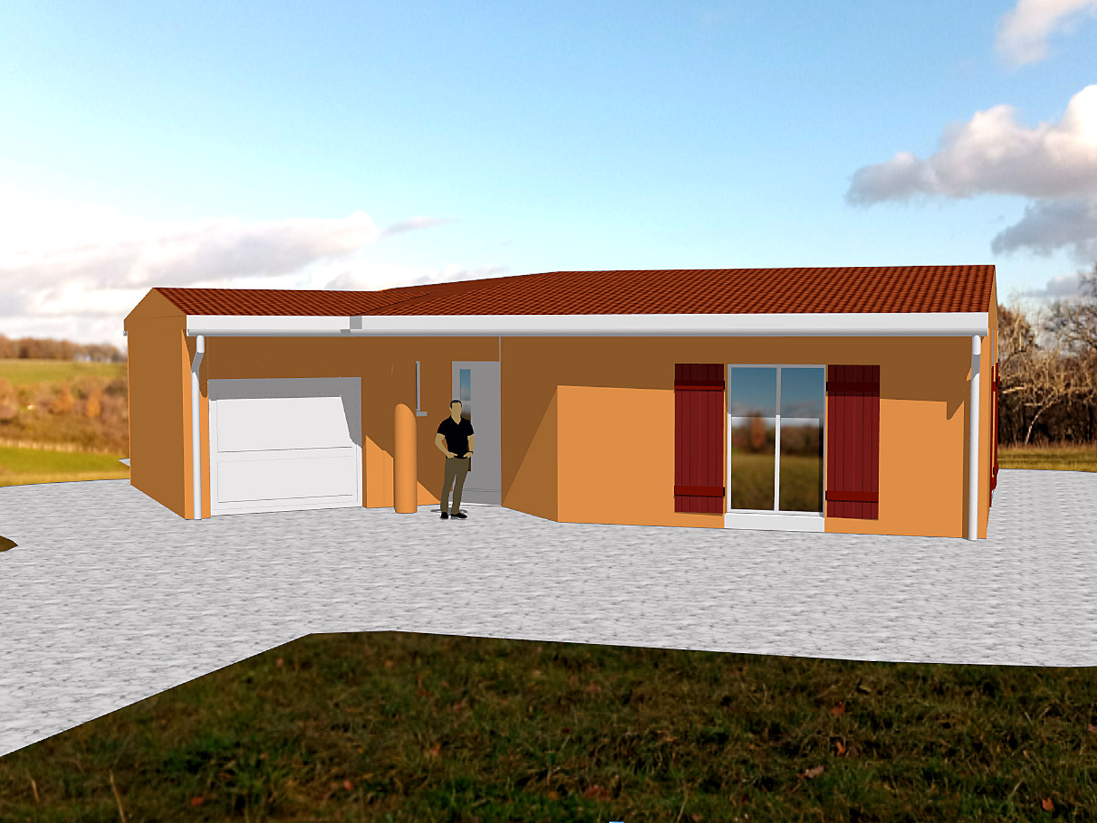
It’s my proposed new house actually shown on the land on which it will be built – it’s amazing what you can do nowadays with relatively unsophisticated software. The images below show the four principal elevations of one of the versions that I’ve worked up with the house in ‘Perigordian’ style, that’s with the walls rendered with the traditional orangey ‘crepi’ cement. First up, from the west (the road).
Now from the north.

Now from the east.

And finally, from the south.

The computerised images that the house-builder sent me were so inaccurate that I decided to make my own model and I’ve sent them my ones just in case they were going to use theirs for the planning application. You never know and I don’t want to have any hiccups in the process as ‘Bâtiments de France’ now approve all plans and are known to be quite picky about what can and can’t be built in an area or on a parcel of land.
I have another cleaner, more ‘modern’ loking version but I have a few modifications to make to that before I’m happy with it. That’s the beauty of using computer software for the job – you’re only limited by your imagination 😉