
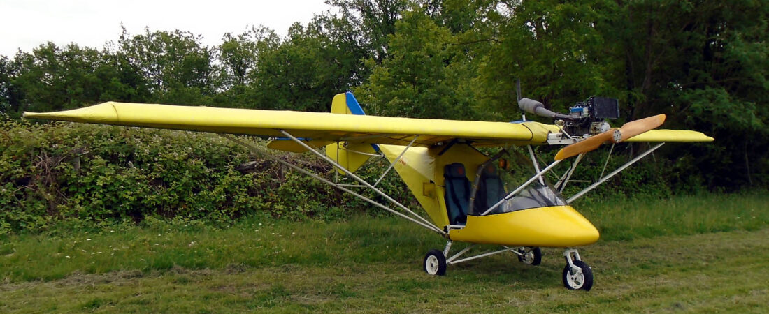


Wednesday 17th August
Leg 1 – Rochester to Abbeville
I couldn’t wait to get out of the dratted Rochester Holiday Inn after my dismal stay there. Having made my preparations, or most of them because I found after I’d taken off that I’d omitted entering the flight leg headings into my knee-board and entered the times instead in the wrong column, leaving the time column blank, I struggled out of the hotel and back over to F-JHHP with my case and flight bag.
Memo to self: never EVER take such a large case again, filled with clothes that you’ll never wear while away, even if it can take your lap top, still fit in the aircraft and you expect to be transported everywhere by car when on the ground.
As I had no need to pick up any fuel, I soon had the Savannah untied, packed and ready to go, so was in the air taking off from runway 02 at 8.25 am, after I’d again filed my international flight plan using my mobile phone. As soon as I turned onto heading I was struck by how much the visibility had deteriorated since I’d flown in the previous evening and in fact it was almost unflyable.
The coast, which you can usually see from Rochester, was totally invisible behind a blanket of haze as a result of a filthy inversion extending up to 2000 feet or more, topped off with a thin layer of dirty broken cloud. In fact, visibility was so poor that I decided that it wasn’t worth taking any pictures and thought it better to concentrate on flying the aircraft on the correct heading instead.
Above the inversion layer there was no horizon to mention but the top of the layer itself served as a visual reference and flying using the GPS was therefore quite safe. I could see that there was no further cloud above the layer, all the way to France by the look of it, so I thought that I’d give the Channel crossing a go and see how it worked out. If it didn’t, I could always turn around and return to Rochester, or more likely Headcorn, as it was closer and I needed to think about my fuel reserves.
I returned by the same route that I’d come by and soon I saw Folkestone slip under the wing through a gap in the cloud layer that topped the haze. So then all I had to be concerned about was getting to France without anything silly happening.
Flying at only 4500 feet rather than the 5500 feet plus that I usually prefer, to the left and right there was no horizon and nothing but blue where the sky met the sea in an undefined blue void. But I wasn’t heading in either of those directions, and ahead I could see what looked like sea fog over the French coast. This made my heart sink a bit, until as I got a bit closer I could see that this was actually lowish cloud over the well-defined coastline at Cap Gris Nez.
This was good news because it meant that there was clear air below the cloud level that I’d be able to get into and from my experience, the cloud level in northern France invariably rises the further inland you get, away from the effects of the coast. So I began my descent at what I judged to be the right time and coasted in at around 2500 feet or so above Cap Gris Nez before continuing on towards Boulogne.
Here’s a shot that I took of Boulogne harbour as I passed by. I should add that because of the poor visibility, almost every photograph in this posting has been edited to enhance detail and colour, except for ones that have been left untouched and unedited at various points to show just how poor visibility was at the time.

I didn’t bother taking any more shots before making my approach to Abbeville and joining downwind for runway 02. There was no other airborne traffic but a bit more activity down on the apron, where I bumped into a couple from Luxemburg at the refuelling point with a Savannah ‘S’. They asked me where I’d come from, and when I told them ‘England’, a look of surprise came over their faces. They told me that they’d taken one look at the visibility over the Channel and decided that that was one they’d give a miss. In fact, they said that their plans had been to head south to the Loire but in the light of the current weather and the forecast for the coming days, they’d decided to return direct to Luxemburg.
I’d already filled in the Abbeville movement sheet and after I’d topped the F-JHHP’s tanks up, went back to the bureau to settle up for the fuel and landing fee. I was quite surprised to find that I’d taken 60 litres on board, which meant that after landing, there had been only 10 litres remaining in the tanks.
This was cutting it much too fine and was the result of only having had enough time to put in 48 litres before setting off from Dorset, which was not quite enough to fill the tanks. I knew that but had judged that I’d had enough on board to fly to Rochester and then onward to Abbeville, which proved to be the case but with hardly any reserve for safety. If I’d had to turn back over the Channel, I’d have needed to make the decision to do so early on to make it back to Headcorn. Another solemn lesson learned.
I also made another mistake at Abbeville. I bumped into an English couple returning in a Vans from Switzerland to Popham and because they’d faxed ahead (as the English always do being sticklers for formality) there were three Douaniers present checking their papers. I ask you, they were leaving France, not entering! I happened to mention that I was British too and when asked, said that I hadn’t faxed ahead because I hadn’t had enough time.
If the Douaniers hadn’t HAD to be present because of the Brits being desperate to conform, nobody would have cared but as they were there, they said that they HAD to check my papers too. So I HAD to dig out my passport and the papers for 77ASY/F-JHHP and they HAD to fill out their forms that nobody was really interested in, this being France. And I ended up losing nearly an hour.
What is it about the Brits?
Flight time Rochester – Abbeville 1 hour 40 minutes.
Leg 2 – Abbeville to Saumur
The man in the office at Abbeville said that he’d close my flight plan for me so I was then able to take off and continue heading south into the haze. Here’s a shot that I took of Vieux-Rouen-sur-Bresle just south of the airfield.

The next shot is an unedited one showing the visibility while approaching Vernon on the river Seine.
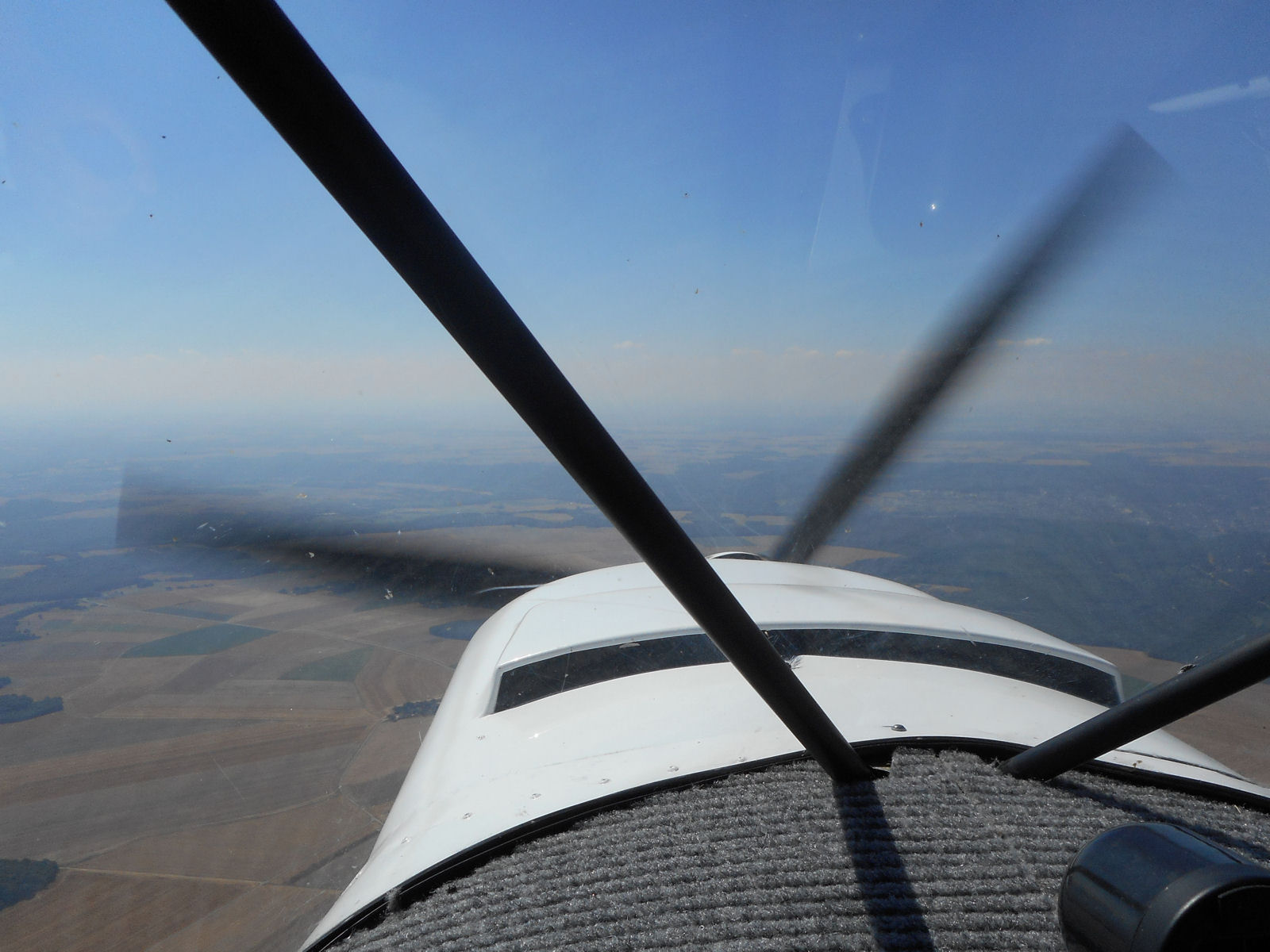
The next shot is of Vernon itself (remember, this one has been photographically enhanced).

This shot is of the river Seine at Vernon looking towards the south.

This picture is of Breuilpont, which is located some 15 kms south of Vernon.

Next, Saint-Remy-sur-Avre.

About another 7 kms further on, Laons.

Remember the old NATO airfield, Senonches, that was pictured on the way up? Just past the airfield heading south is the town of Senonches itself, which gave its name to it.

The area to the south of Senonches is covered by dense forest. Sorry about the hand reflection 🙂

Here’s Fontaine-Simon a bit further on south.

On the way north, I shot a photo of the distinctive road pattern at Nogent-le-Rotrou. That only showed a small area in the north of the town and now here’s a picture of the main part, to the south.

Next up, the small commune of Dollon.

Abeam Le Mans, the visibility began to deteriorate further, as shown below in this shot, which has incidentally been enhanced just a little.

A bit further on, I came once again to the ‘Émetteur Le Mans-Mayet’ and as I’d kept to its south on the way north, this time I skirted round it to its north. Previously it had been clearly visible in bright sunlight but this time it was shrouded in the haze. I’ve since found out that this mast, which transmits TV and FM radio is, at 342 metres, taller than the Eiffel Tower and is, indeed, one of the tallest structures in France.

Saumur was only 65 kms further ahead and it wasn’t worth taking any more photographs in the haze before landing there. From the windsock, I initially decided to land on runway 28 left hand but while I watched, it swung around. I responded by flying along the runway heading and then turning to join downwind for runway 10 right – not that it really mattered because there was no other traffic and when I signed the movements sheet later, I found that mine was the only aircraft that had taken off or landed there for the whole day up to then.
Flight time Abbeville – Saumur 3 hours exactly.
Leg 3: Saumur to Malbec
After topping up my tanks for the second time at Saumur (with 100LL, no ticket available on either occasion), in view of the weather conditions, I was in a hurry to get away again. I took the next shot of the city while climbing out from runway 10.

Almost immediately, visibility began to deteriorate even further from the poor level that it had already been at.

As the flight progressed, it became steadily worse making it essential just to follow the GPS line and stay on heading. This was not always easy there being no exterior features to fly towards and I found that if I allowed my attention to lapse for much more than I few moments I would be off course by as much as 20 degrees.
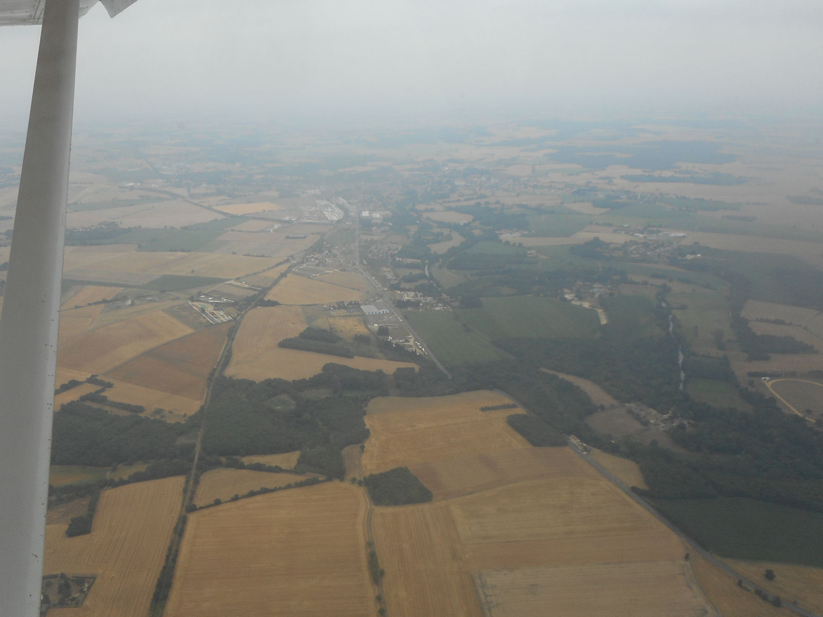
By the time this wind farm, which I’d photographed from altitude on the way north, came up I estimate that the visibilty was down to 5 kms or possibly even a bit less. However, with good sight of the surface directly below and around the aircraft and the whole of the world surrounding it being wide open fields in which to land if necessary, I viewed that it was quite safe to continue onwards.

The visibility had slightly improved by the time I came to Nontron in the Périgord, but not by much as the following (enhanced) shot shows.

But shortly afterwards the weak rays of the sun broke through a gap in the clouds, as if to welcome me home again.

Things had improved markedly by the time Périgueux Bassillac airport came up on my right hand side and when I could spot Fleurac and the runway at Malbec in the distance, I knew that I’d almost arrived. Just the landing on Malbec’s 160 metre runway now to contend with – but no problem in the unusually calm conditions and no hint of the ‘bucking bronco’ ride that we often have to deal with because of the valley and trees just before the threshold.
In fact I pulled off a greaser and possibly the best landing of the whole tour, even though I say it myself. Nothing to do now except taxi up to the top of the runway and switch off.

It was good to be back! Now it was time to unpack, put 77ASY back in the barn and head home for a very welcome long, cold beer. And that’s just what I did 😉
Flight time Saumur – Malbec 2 hours 15 minutes.
Total flight time for the day, Rochester – Malbec 6 hours 55 minutes.
Total flight time over two days Bowerswain Farm (Dorset) – Malbec (Dordogne) 8 hours 50 minutes.
Total distance flown Bowerswain Farm – Malbec 1016 kms.


 English
 Nederlands
 Français
 Deutsch
 Italiano
 Latviešu valoda
 Português
 Español